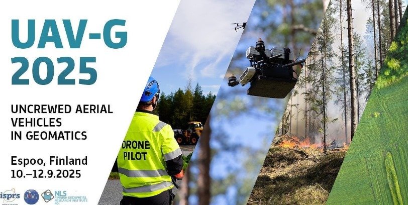
The Finnish Geospatial Research Institute (FGI), part of the National Land Survey of Finland, successfully hosted UAV‑g 2025, bringing the international drone‑mapping and photogrammetry community to Finland. The conference gathered leading researchers, industry experts, and practitioners to discuss the latest developments in UAV‑based data collection, remote sensing, and autonomous geospatial workflows.
UAV‑g is recognised as one of the premier global scientific events focused on drone geomatics. This year’s programme included presentations on high‑precision positioning, multisensor payloads, advanced calibration methods, environmental monitoring, swarm‑enabled mapping, and emerging applications in forestry, infrastructure, and climate research. Demonstrations and field sessions provided participants with hands‑on experience in real operational environments.
Hosting UAV‑g further strengthens Finland’s position as a key European hub for uncrewed aviation and advanced geospatial technologies. The event offered excellent visibility for national research and innovation efforts, including contributions from FUAVE partners, and provided new opportunities for collaboration across academia, industry and public-sector stakeholders.
FUAVE congratulates FGI on a successful conference and looks forward to continued cooperation in developing world‑class drone research and applications in Finland and beyond.